

If you have any questions that are not answered here, please get in contact with us through our Contact Page.
Edited still photos will generally be delivered within 24 hours following the time of the shoot.
For most projects, will will deliver edited digital photos to you via Dropbox within 24 hours following the completion of the shoot. This timeframe may be extended depending on the quantity of edited photos requested. You will receive an email that includes a link to your online photo gallery where you can download all of these files to a local device.
Generally, it is not necessary for you to be on-site for the shoot; however, you are welcome to join if you feel it will be beneficial, or if you do not yet have a full idea of what you want the shoot to accomplish. Scheduling times may be more complicated where you do opt to join us on the shoot, due to the coordination required. Should you decide not to be present at the shoot, providing us with an accurate and detailed description of your preferences, goals and objectives will greatly assist us.
This can depend on your personal preferences, and on what you are trying to accomplish. For example, partly cloudy weather can add a display of texture to the sky that is ideal for marketing photos, while the softer light near sunrise/sunset can give a different tone to the photo than the full sun in the middle of the day.
Importantly, we can not operate our drones in rainy or foggy weather, or if the wind is too strong or gusty. Conditions such as these will require a reschedule, so you should take into account the possibility of some delays when planning the shoot.
Operations are also restricted to daylight hours, being morning civil sunrise to civil sunset. Basically, if the sun is almost about to climb above the horizon, we can operate from then, until just after is has set below it.
From CASA (Civil Aviation Safety Authority):
- You must not fly your drone higher than 120 metres (400 feet) above ground level.
- You must keep your drone at least 30 metres away from other people.
- You must keep your drone within visual line-of-sight.
- You must not fly over or above people or in a populous area (crowded beach, park, event, or sport oval where there is a game in progress).
Additionally:
- If your drone weighs more than 250 grams, you must fly at least 5.5 kilometres away from a controlled airport. (Our Mini 2 is under the 250 grams, so can be used in areas closer to airports, though there are also restrictions in the approach and departure paths).
There may also be restrictions around areas such as military bases, emergency service response areas, etc. And if there are hospital helipads or other operating areas nearby, the drone would need to be landed while an aircraft is in the area.
If you wish to check your intended shoot location yourself, there are a number of services out there, including ok2fly. Otherwise, in our initial consult with you, we will be able to determine whether the location is suitable or not, and possibly offer alternative locations, depending on your requirements.
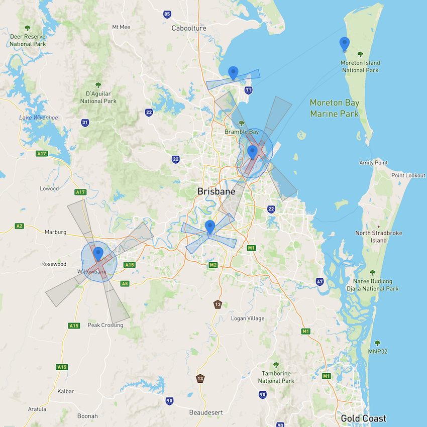
As an example, in the below image, from dji.com, the red areas are restricted for the Mini 2, with the grey areas having some altitude limits. The Mavic 2 Pro would have a restricted area that would include the blue zones, plus a bit more around it.
I’ve held a CASA RePL (Remote Pilot Licence) since mid-2020, with my conversion training conducted by UAV Training Australia, on the Mavic Pro, Phantom, and Inspire series RPAS.
I’m also the holder of an Air Transport Pilot Licence, flying fixed-wing aircraft since 2005. I’m currently stood down from my airline job due to the Government COVID restrictions, but was an A330 and then A380 pilot, with over 8,000 hours of flight time logged.
Drone usage is an evolving industry, and the possibilities are potentially endless.
I’ve chosen to concentrate on and specialise in real estate and static drone photography.
An aerial photo can showcase your property, and highlight the surrounding area. Or, if you’re building a new home, or considering an extension, a drone can quickly and easily provide aspect shots to show potential views from the new construction.
Drones can also provide a quick and safe result for much more simple jobs also… do you need to look at something on your roof, such as that bird’s nest under your solar panels, or in a tree? A drone photo or video can be a good initial step, avoiding the costs and safety hazards of a person going up a height.
We deliver only high-resolution imagery to our clients. For specific details, see the DJI Camera Specification section.
A DNG/RAW photo is the image produced by all of the raw data from the camera sensor, and as such, the image is large and minimally processed, and is ideal for professional editing. Our DJI drones save these raw data images as .DNG files, which we will convert to the more usable JPG file format during the editing process.
boregos is committed to delivering the highest quality imagery possible. Therefore, unless otherwise specified by the client, we shoot photos in DNG (RAW) format. The DNG images are converted to JPG when edited.
Depending on your preferences, we will provide you with the end result JPG files, the untouched DNG files, or both!
We operate drones manufactured by DJI. DJI is the industry leader, and currently has approximately 70% market share of the drone market. The two models we operate are the Mavic 2 Pro, and the Mini 2. We prefer to use the Mavic 2 Pro for most of our operations, however in some cases, such as operations closer to airports than 5.5 kilometres, the Mini 2 would need to be used.
For all operations, the hourly rate is $50 per hour, for onsite time, and editing time.
There are some minimum charges involved:
Within 10km of the Brisbane CBD:
For operations within 10km of the Brisbane CBD, travel time is not charged, however there is a minimum charge of $50.
10km to 25km from the Brisbane CBD:
For operations at a site exceeding 10km, up to 25km from the Brisbane CBD, the minimum charge is $100.
Greater than 25km from the Brisbane CBD:
For sites greater than 25km from the Brisbane CBD, the rate or quote amount will be provided based on the location. Contact boregos for further information.
For any operations within 25km of the Brisbane CBD, travel will not affect the price. However for operations further away, we can discuss this with you during our initial consultation.
Yes, we can certainly share a single photo with you, and for things such as just checking on that bird nest under your solar panels, that may be all that you require. However, for most projects, image quantity does not overly affect price. We typically advise our clients to look at all of the photos we capture, and choose for themselves which ones they personally think are the best for their requirements. It can be challenging to verbally communicate the precise heights, angles, and distances of preferred shots, especially where the client is not on site, so we try to capture as many shots as is reasonable to ensure there is enough variety to provide the photos you have in mind for your project.
Yes. You will receive an invoice via Quickbooks or PayPal when the shoot is complete. You can pay either by direct deposit, or any major credit card.
Sensor
1″ CMOS
Effective Pixels: 20 million
Lens
FOV: about 77°
35 mm format equivalent: 28 mm
Aperture: f/2.8-f/11
Shooting Range: 1 m to ∞
ISO Range
Photo: 100-3,200 (auto) | 100-12,800 (manual)
Video: 100-6,400
Shutter Speed
Electronic shutter: 8-1/8,000s
Still Image Size
5,472×3,648
Still Photography Modes
Single shot
Burst shooting: 3/5 frames
Auto Exposure Bracketing (AEB): 3/5 bracketed frames at 0.7 EV Bias
Interval (JPEG: 2/3/5/7/10/15/20/30/60s | RAW: 5/7/10/15/20/30/60s)
Video Resolution
4K: 3,840×2,160 24/25/30p
2.7K: 2,688×1,512 24/25/30/48/50/60p
FHD: 1,920×1,080 24/25/30/48/50/60/120p
Max Video Bitrate
100Mbps
Colour Mode
Dlog-M (10bit), support HDR video (HLG 10bit)
Photo Format
JPEG / DNG (RAW)
Video Format
MP4 / MOV (MPEG-4 AVC/H.264, HEVC/H.265)